
GENUINE ANTIQUE MAP – ANTIGUA – ANTILLES, BY GEORGE L. LE ROUGE, PARIS 1746.
- You cannot add another "CARTE DE L'ISLE DE LA JAMAIQUE BY RIGOBERT BONNE. PARIS CIRCA 1780." to your cart. View cart
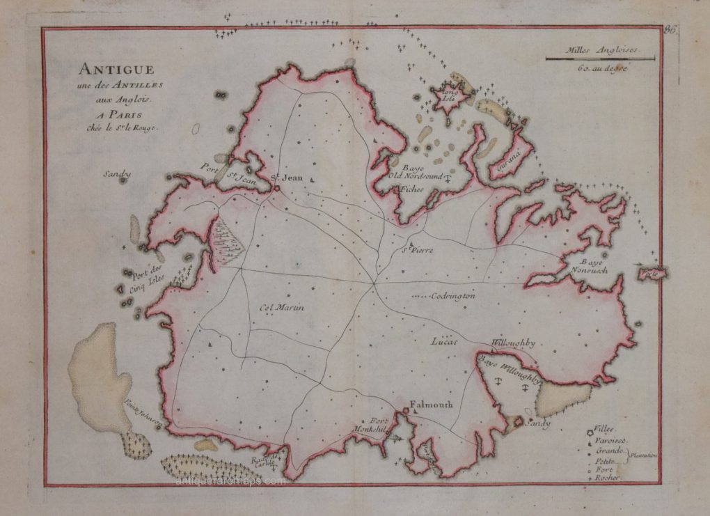
ANTIGUE UNE DES ANTILLES An attractive copper line engraving produced to accompany George L. Le Rouge’s “Atlas Nouveau Portatif…” published in Paris, 1746. Measures 200mm x 270mm. A guaranteed genuine antique map. Original hand colour, with later additions. G L. le Rouge (c.1707 – c.1790) was a French military engineer, hydrographer and cartographer. He produced […]
£149.00
Related products
-

CARTE DE L’ISLE DE LA JAMAIQUE BY RIGOBERT BONNE. PARIS CIRCA 1780.
£125.00 Add to cart -

LEVASSEUR – SOUTH AMERICA – AMERIQUE MERIDIONALE 1854.
£170.00 Add to cart -

AN ACCURATE MAP OF THE WEST INDIES PUB. BY ROBERT WILKNSON, 1807
£75.00 Add to cart

Philip Sharpe antique maps
info@philipsharpegallery.com
CALL
#44 (0) 743 229 0515